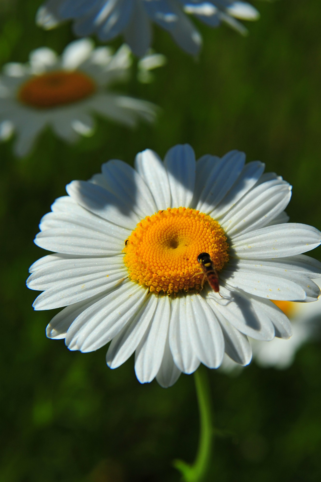
Start of Day 2 on the way to Mt St Helens. A nice daisy with a flying insect of some sort.
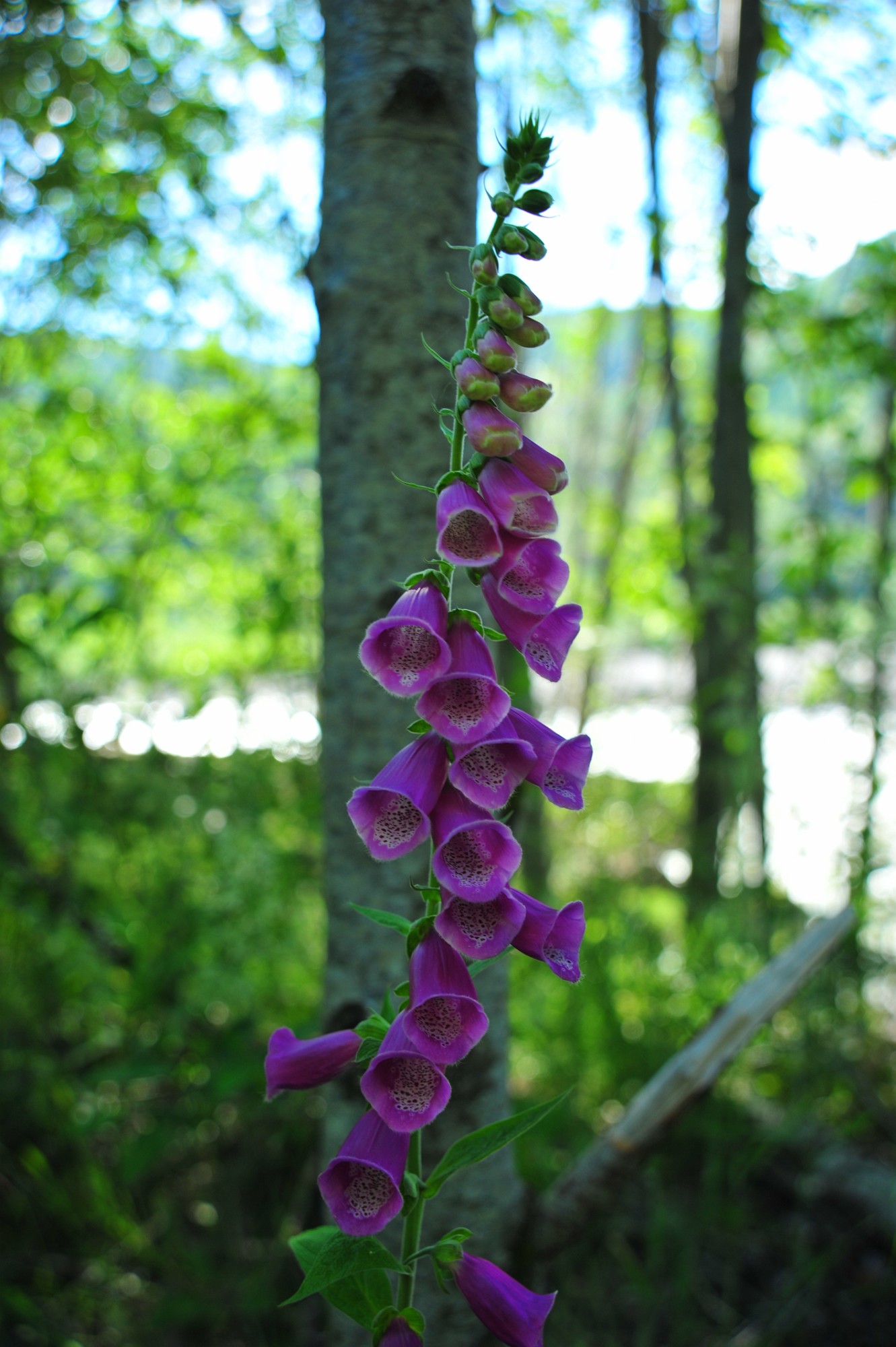
Foxglove along the Toutle River, site of massive lahars 30 years ago in 1980.
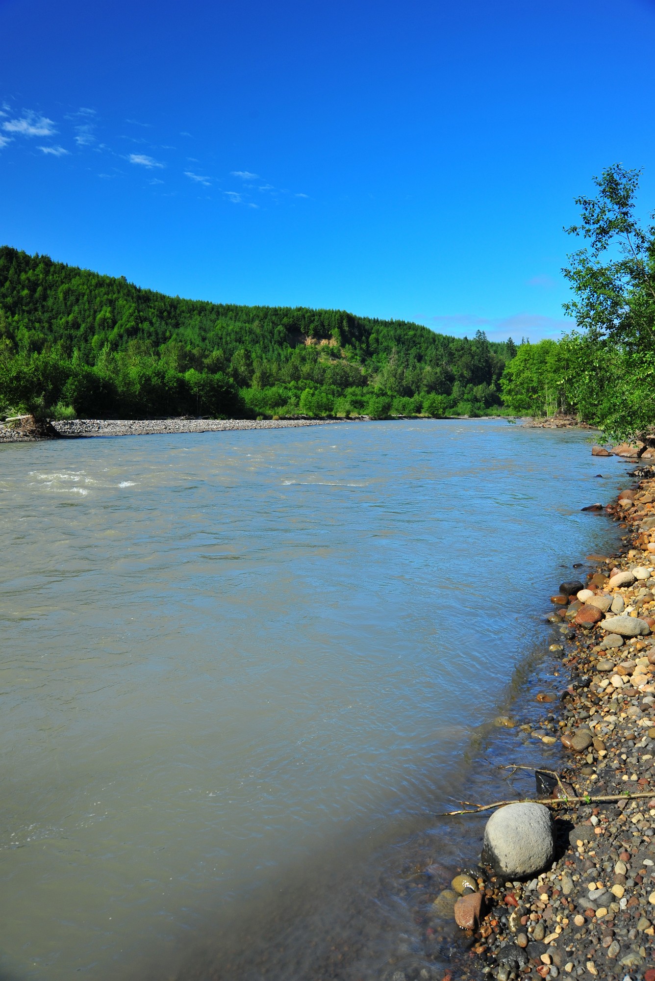
Toutle River, just outside the monument boundary.
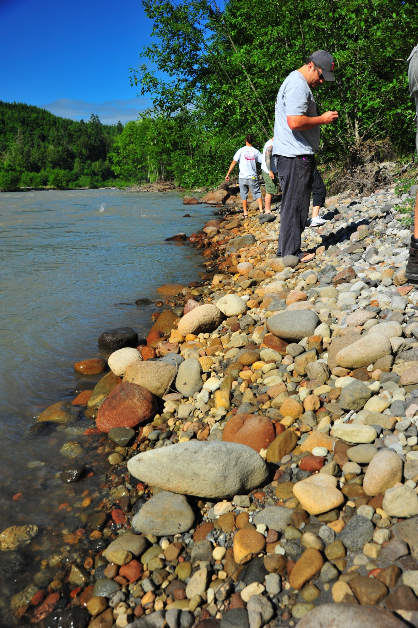
Along the shore are cobbles of andesite and tons of ash/silt from the eruption/mudflow.

I'll have to look-up this flower.

View of the Toutle from Weyerhaeuser visitor center. There were several elk visible from this overlook, but I had no bazooka lens.
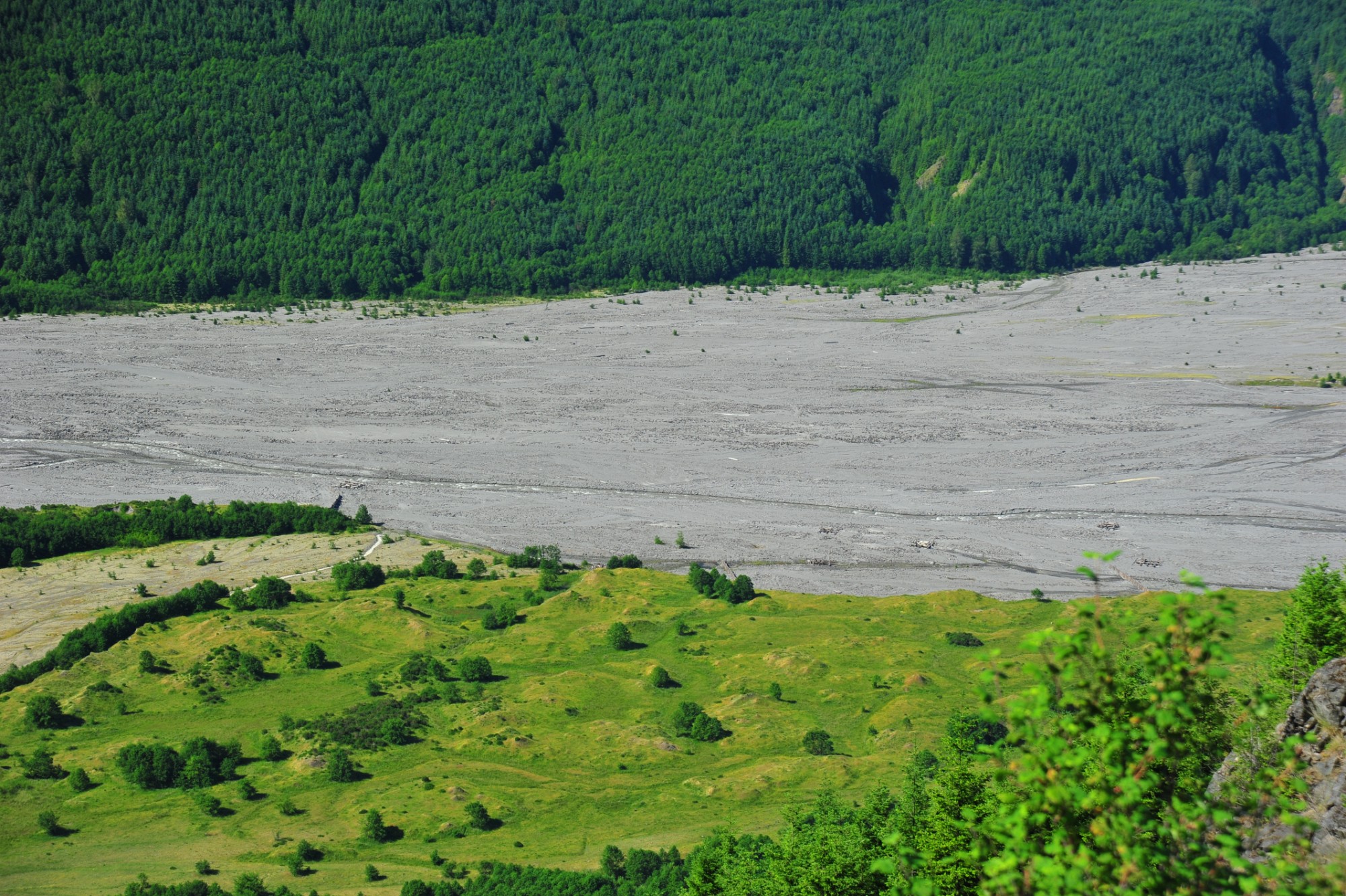
The Toutle accomodated huge lahars of over 60' deep at this point. Notice the braided stream channels that have developed over the past 30 years as the gradient…
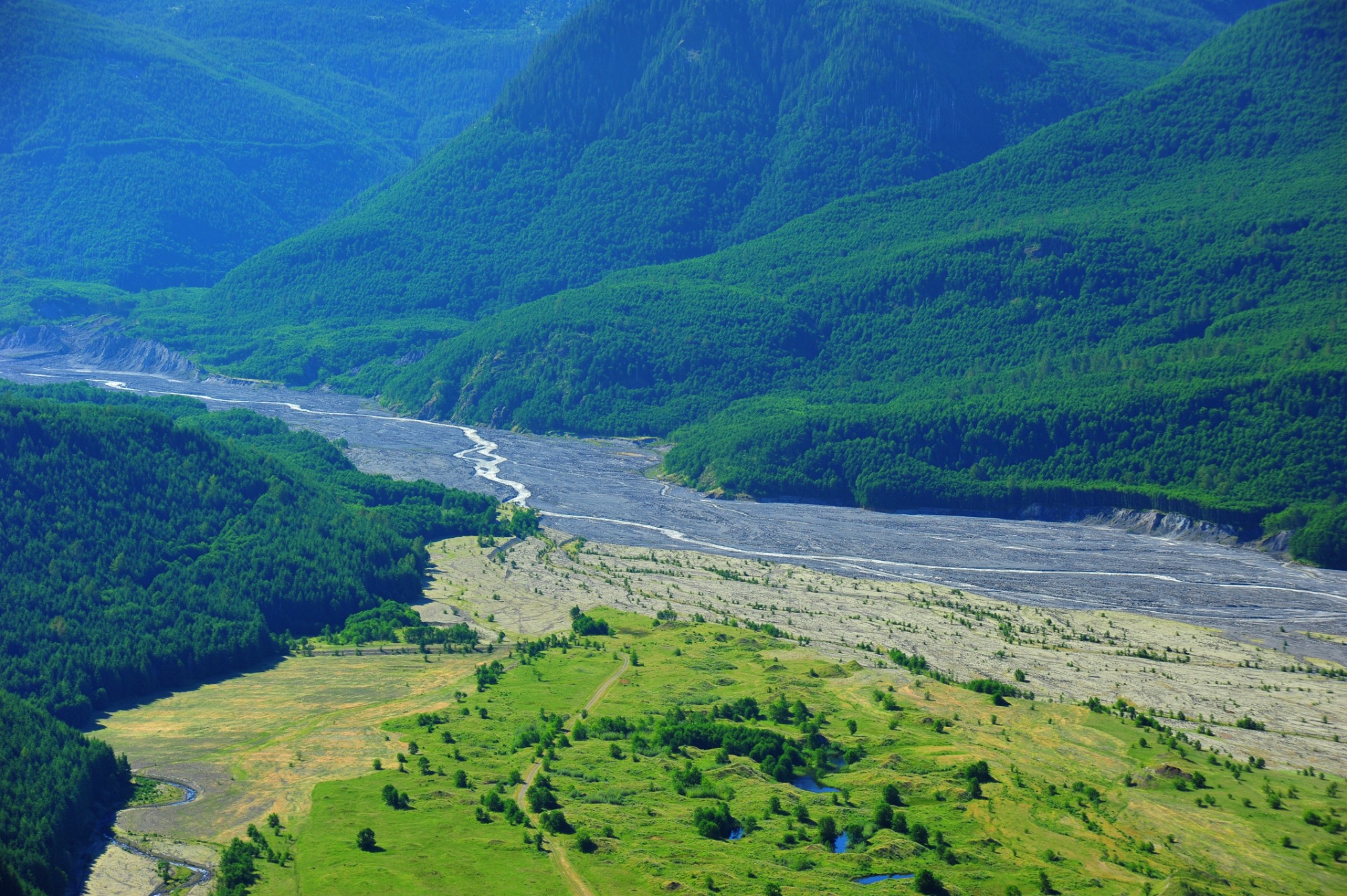
A view upriver on the Toutle with the actual river visible in its channel.
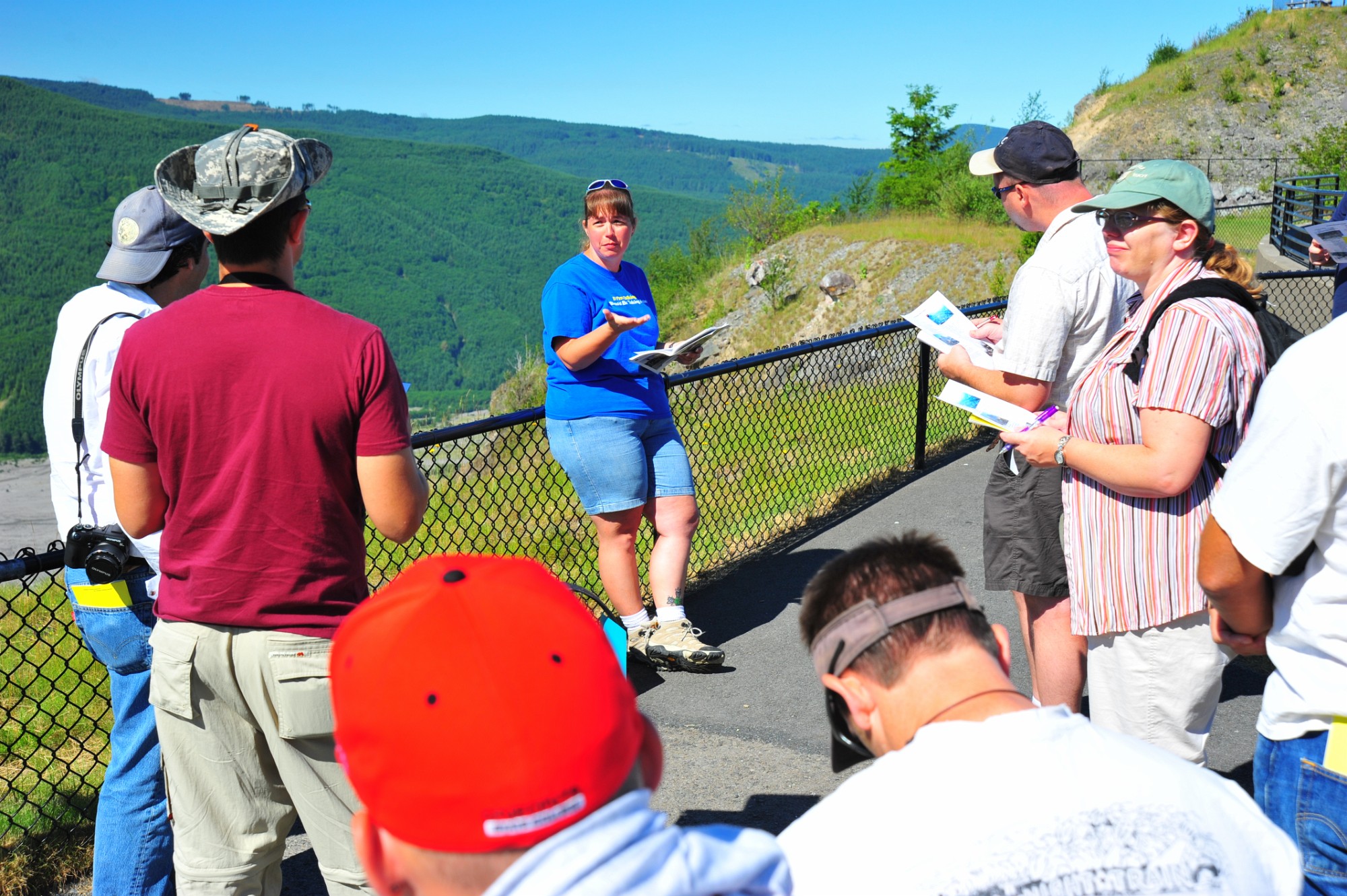
Stachy gives her presentation on Mt St Helens.
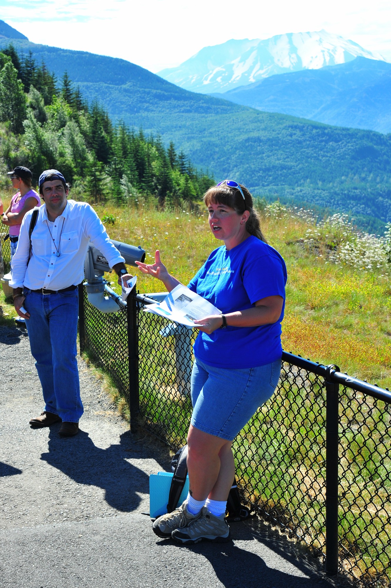
Harsh light as Stacy presents with Jorge & St Helens.
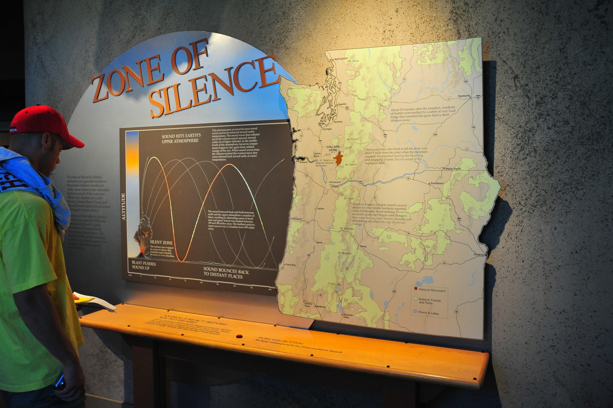
Interesting display in the Weyerhauser museum showing the bouncing path of the explosion's soundwaves. Some folks near the volcano never heard it because the…
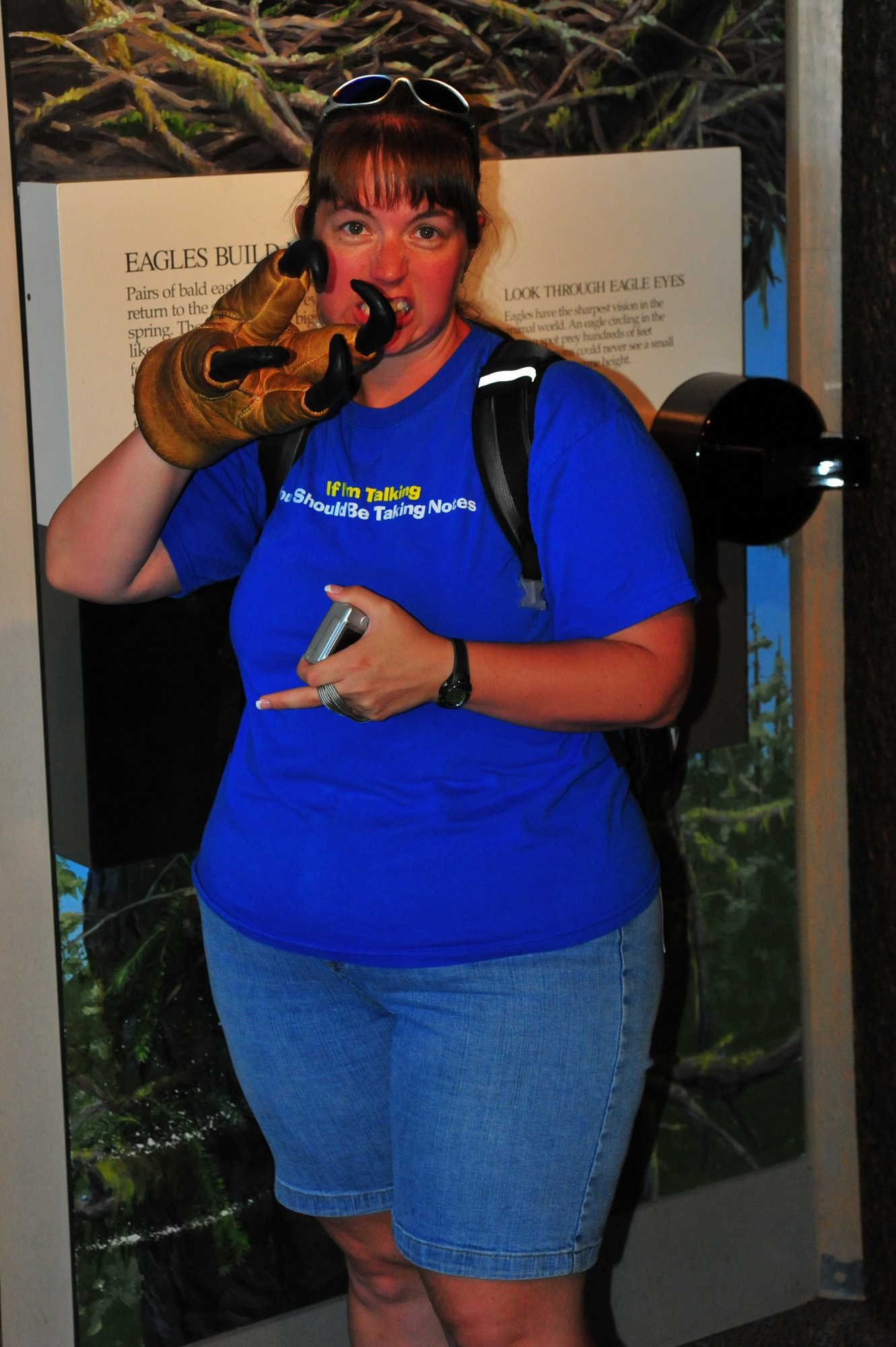
Stacy wasn't satisfied with giving me the bird, so she gave me the eagle.
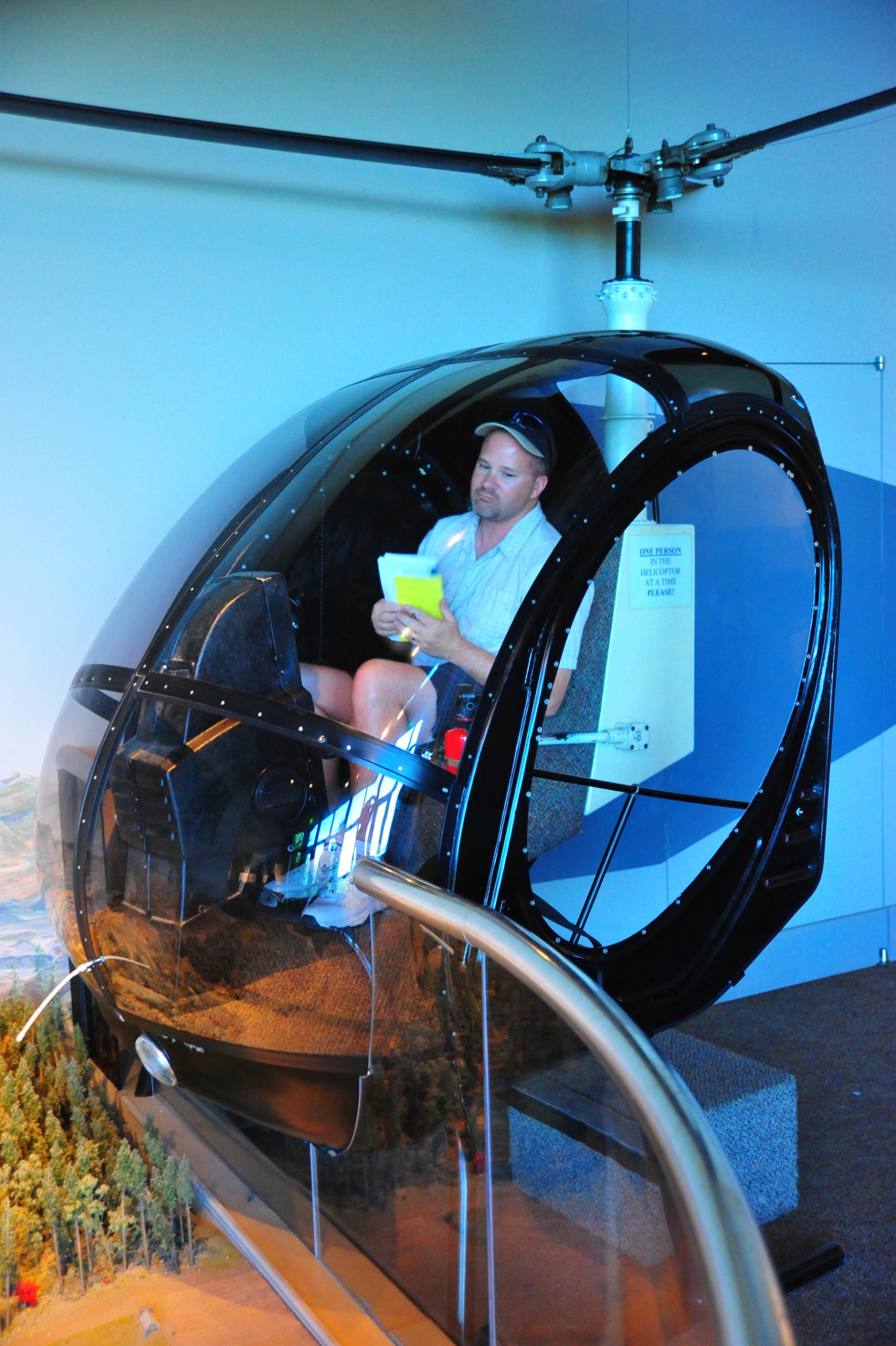
Todd surveys the scene to see who he can help.
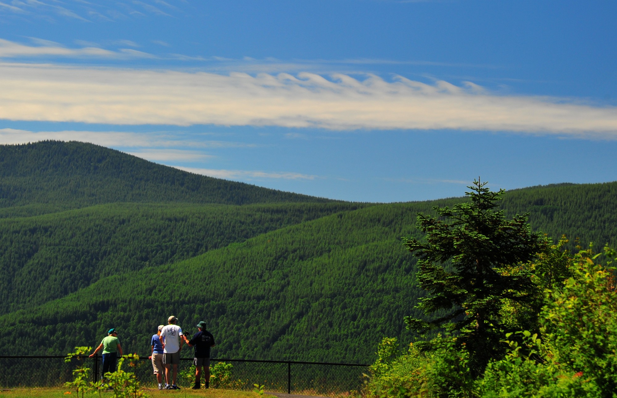
The awesome clouds spotted by the Mikes are called Kelvin-Helmholtz wave that formed by a velocity sheer between two different densities of air. Cowabunga!
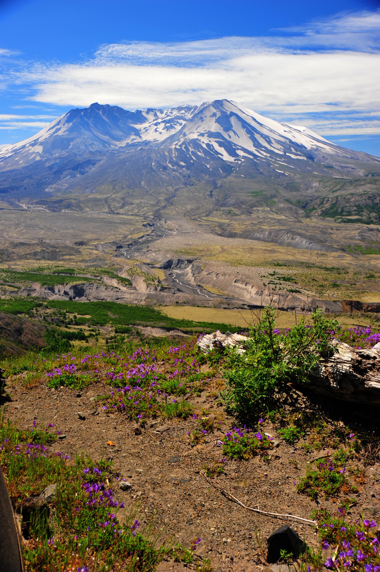
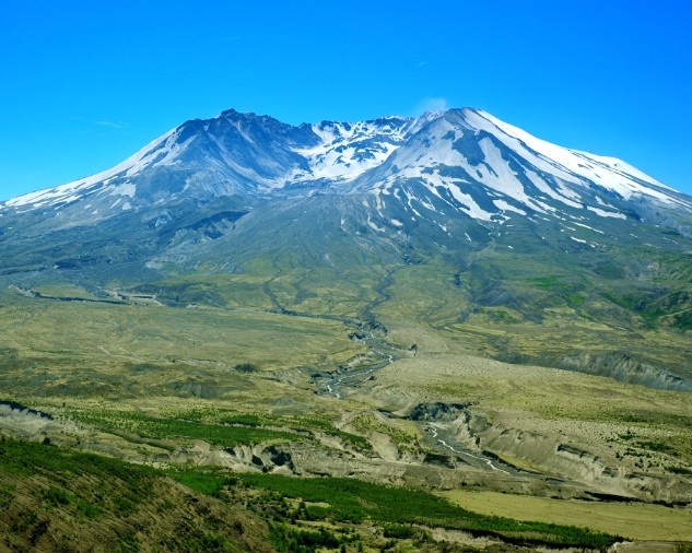
Another bright day, more harsh light. But a nice view of the mountain.
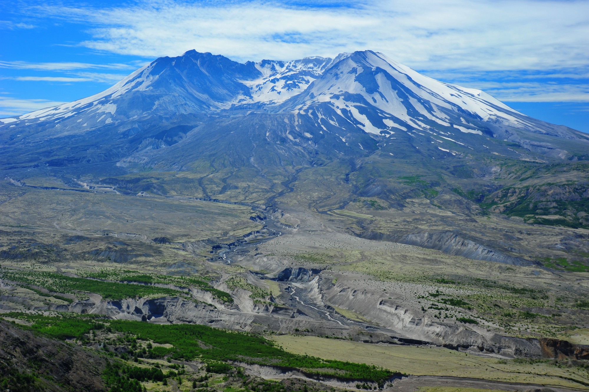
The lava dome has grown quite substantially since 2002, the last time I visited.

Windy Ridge and Spirit Lake in the far distance. The pyroclastic flow sloshed the lake, and also overtopped Johnstone Ridge, where this photo was taken, before…
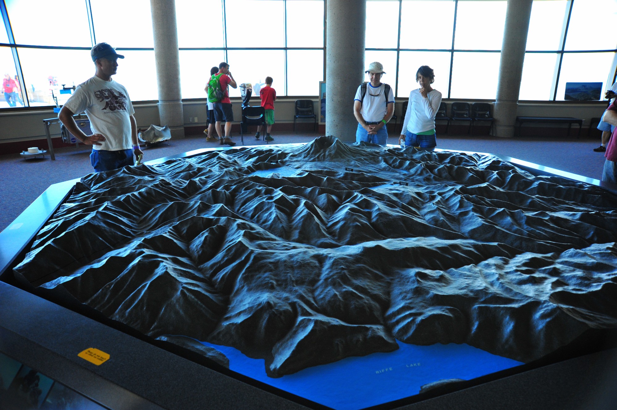
Awesome eruption time-line model. Fiber optics show the direction and size of eruption sequence.
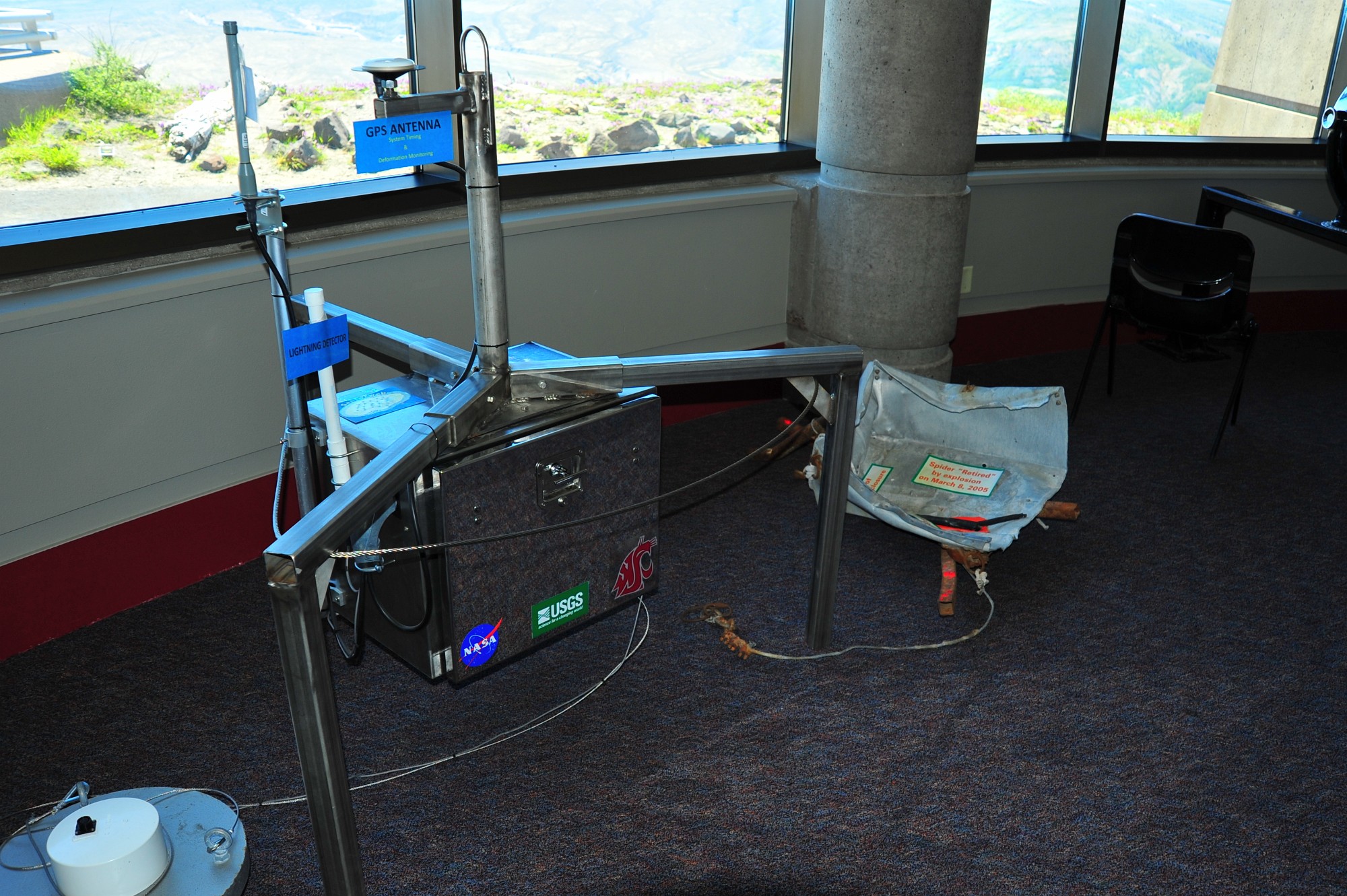
Spiders are dropped on the mountain to weave a monitoring web measuring everything from seismicity to gas emissions to lightning strikes.