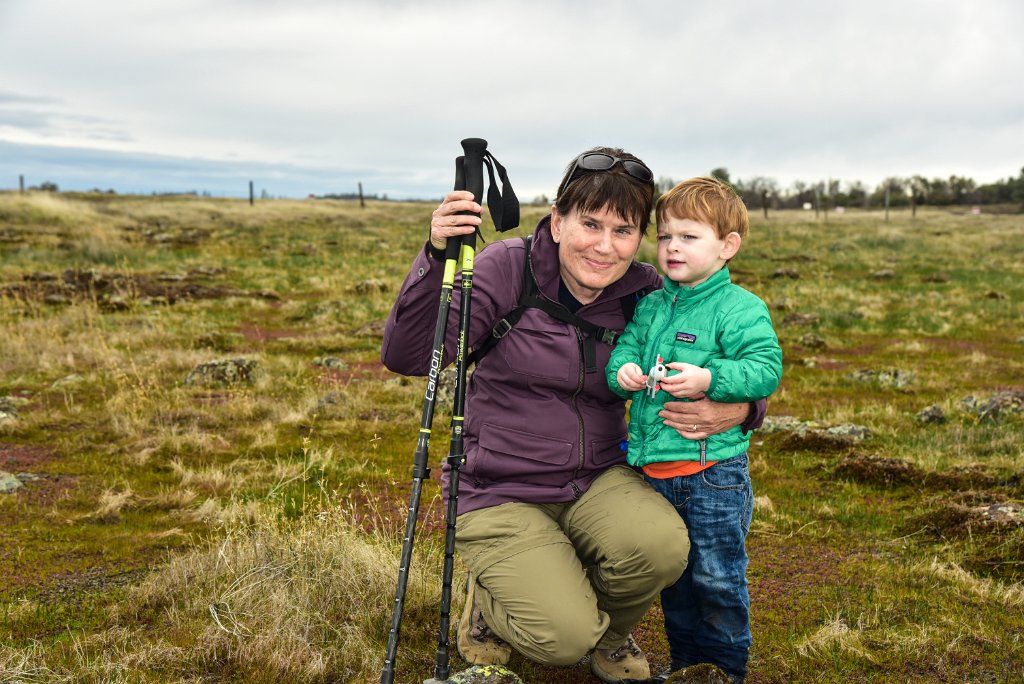
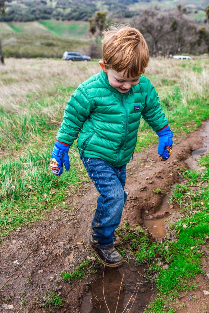
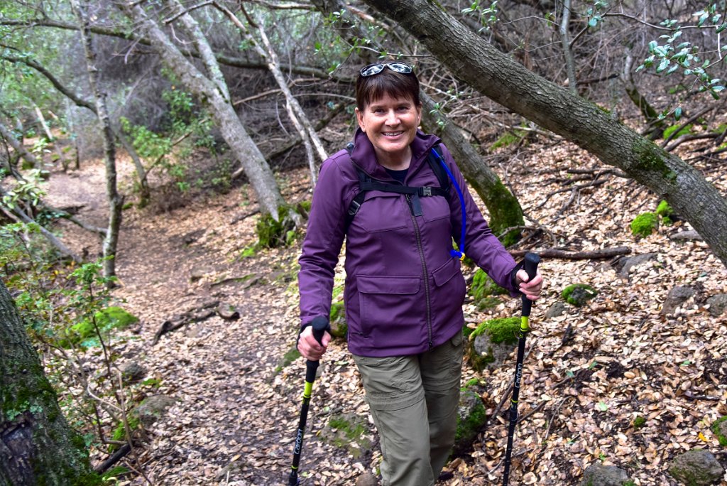
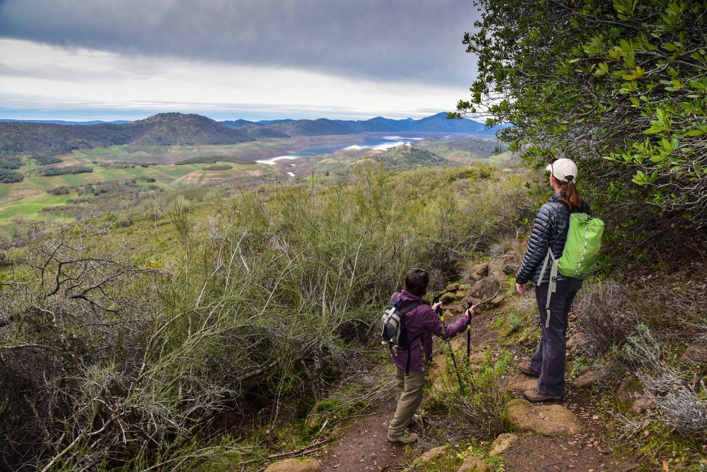
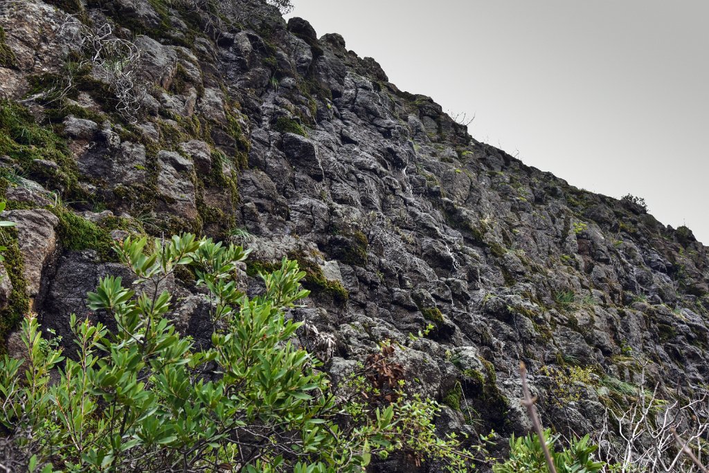
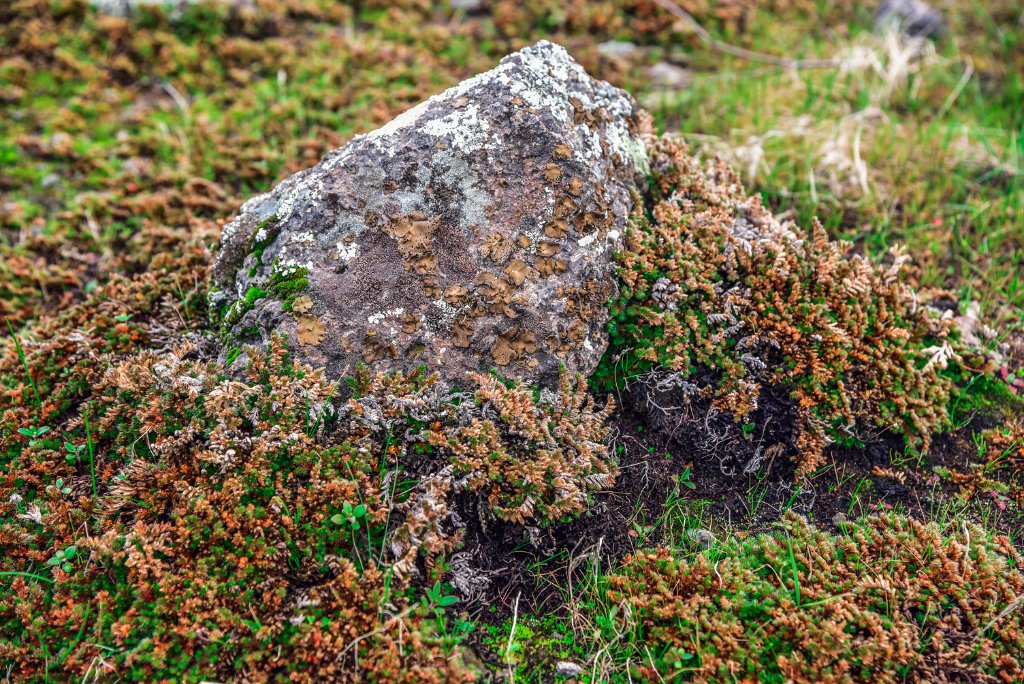
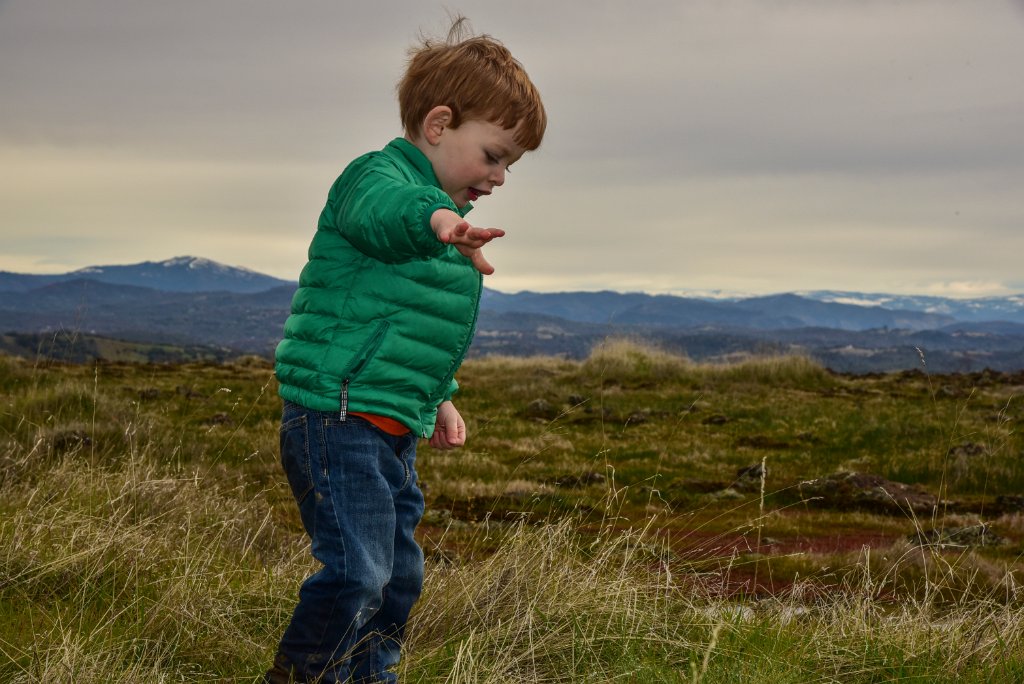
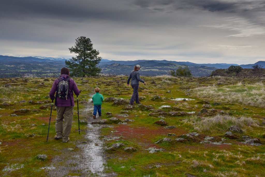
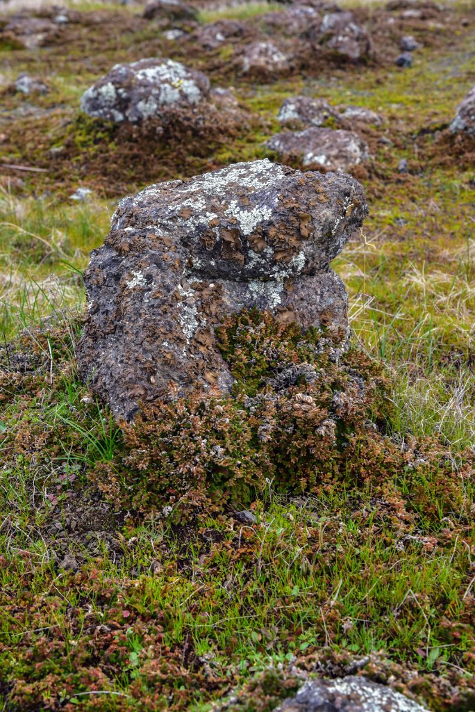
Join Laura, Zephyr, Grandma H and me for a two-mile round-trip hike up one of the best preserved pieces of inverted topography in the world. The formation of Table Mountain started ~9 million years ago as latite lava that erupted out of Sonora Pass and flowed down the river canyon of the ancestral Stanislaus River. The lava cooled, hardened and resisted erosion over time much better than the surround rocks of the canyon. Nine million years later the hard lava now stands 600' above its surroundings!
1 Zephyr ready to start up the trail after jumping and sitting in the muddy puddles.
2 Z gets a boost up the trail from mom.
3 New Melones Reservoir was at 14% of capacity this day. The lake level would rise two feet in the next two days thanks to two robust storms.
4 Zephyr LOVES to hike and play in the mud.
5 I went crazy with the HDR on this lichen and moss-covered chunk of latite.
6 Just as we started to make our first ascent, I noticed lots of mine tailings scattered about the road/trail. A bit of snooping led to this mine adit. I would highly advise against going in the unstable mess.
7 A nice view of the Table Mountain. We saw three people climbing the rock face in the middle of the photo.
8 These trees were benign, but mark my word you'll likely find some poison oak on this trail in the spring. Hard to tell this time of year with no leaves.
9 The trail zigs and zags steeply over scree and rockfall. Water flowing off of the mountain during the rainy season and under the rocks creates an amazing microclimate for many mosses and plants.
10 Moss!
11 Laura communes with an oak tree.
12 Grandma H just loves nature and being with her grandkid (and maybe us too).
13 The view from about half-way up the trail. New Melones water level was down 313' (821') from it's elevation at full pool (1135').
14 A really great hand sample of the Table Mountain latite. Notice the large crystals of plagioclase.
15 Hard to tell, but there was a cool little trickle of water trying to be a waterfall.
16 After riding on my back for a majority of the hike, Z was finally free to roam and explore the Vernal Pools atop the mountain.
17 It's wet you say?! Meh, my pants can handle it.
18 I don't yet know enough about the ecology of the vernal pools and thin soils atop the mountain to make an informed comment. The rocks are awesome though.
19
20 The pile of trees is where the trail pops out of the mountain.
21
22 Zephyr had a great time "flying" his toy airplane into the grasses.
23 We trekked over the mud and around the puddles to get a view from the eastern side of the plateau.
24
25
26 Easter edge of Table Mountain.
27
28 Ok, Grandma and Z like to laugh together.
29 And Zephyr and mom like be silly together.
30
31
32 This looks to be the remnants of a large rock that has weathered down to the small chunks in the middle of the moss ring. I'm sure some of the bigger pieces were scattered by people.
33 Time to go take a group shot!
34
35 Remnants of rather large rock falls in the center of the photo. Jointing in the rocks played a big role, I'm sure... but I wonder mining activity is also to blame?
36
37
38 The trail back down.
39 Slime molds (?), lichen and moss on a tree? Cool!